It is hard to plan a winter hike. Between the ever changing weather, wind chills, driving time, road conditions and lack of daylight hours it is never feasible to have just a 'Plan A' and a 'Plan B.' Most weeks I have a 'Plan C' and some weeks even a 'Plan D' hike just in case. This is becoming more and more difficult for me though as I plow through my winter 48 list and I have less and less back up options each week. Plan A for this Tuesday was the same as Plan A for every hike: something in the Presidential Range. But since the perfect Presi day is hard to come by this time of winter usually the hike defaults to Plan B which for this Tuesday was North & South Twin Mountains and Galehead Mountain. When Tim and I parted ways after our hike up Starr King and Waumbek the day before, we had discussed a meeting time and car spotting arrangements for our hike the next day (which would also include Denise and Kyle). By the time we both got home and checked the weather our Plan B option of the Twins and Galehead went out the window. NOAA was calling for a snowy and windy day with wind chills down to -51. Tim and I agreed that it would be best to save this hike for a nicer day and he decided all together to skip hiking the next day. I checked the weather for various other peaks I needed for my winter list and it all looked quite discouraging. It wasn't anything I hadn't hiked in before but I felt my mental state starting to wear down. I had had my fair share of frigid, windy and snowy hikes the past two months and I wasn't sure I felt like a 2.5 hour drive the next morning for yet another one.
Just when I was about to call it good and take the day off from hiking, I decided to check one more area that I hadn't yet checked. Low and behold, the center of the Sandwich Wilderness where Mount Whiteface and Mount Passaconaway are located, was forecasted to be mostly sunny with 10-15 MPH winds, occasionally gusting to 20 MPH, with a high of 12 degrees. I'll take it! I knew both Denise and Kyle had already crossed these two peaks off of their winter lists so I wasn't expecting either of them to join me. Kyle did however, because in his words he would "rather hike a repeat on a nice day than hike on a crappy day to bag a peak" or something close to that effect. Denise would have too but she was already staying up in the Twin Mountain area which is quite a drive from the southern end of the WMNF.
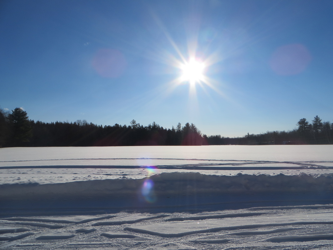
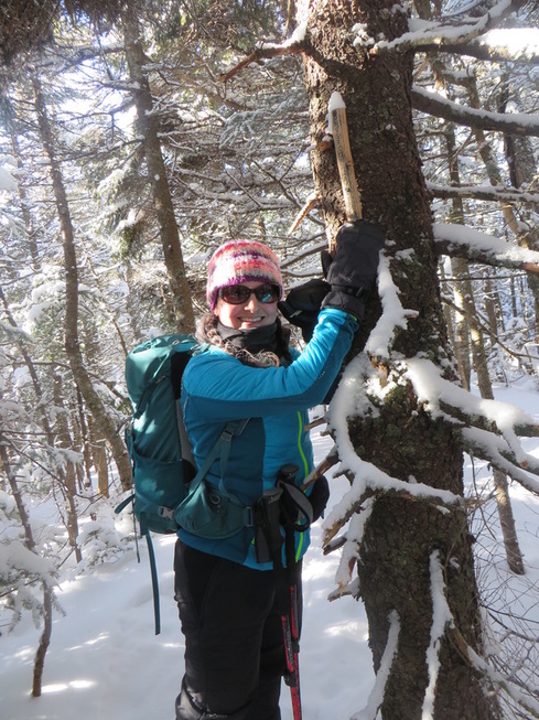
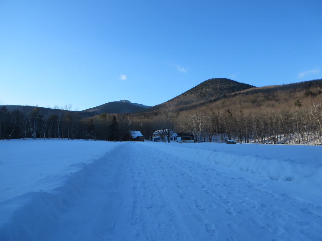
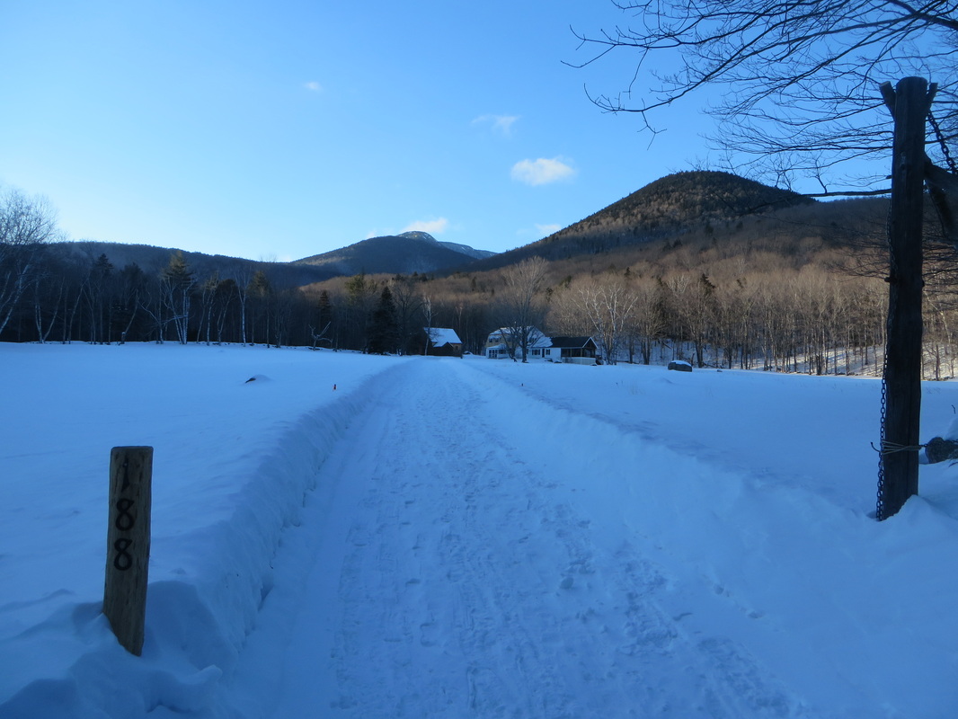
Kyle and I met at the Ferncroft parking area near Wonalancet a little before 8:30 in the morning. The sky was bright blue and the sun was gleaming off of the untouched snow on the surrounding fields. It was a perfect day and hard to believe that it was snowing a little bit north of here. For those of you who have never been to Ferncroft, it is awesome. I can't think of a more picture perfect New Hampshire-esque spot. The parking area for trail heads is at the end of Ferncroft Road, a long dirt road lined with forest on one side and big open fields on the other. From the parking area, one continues to walk on the dirt road past an old cemetery and old restored farmhouses and barns. In the summer the fields are dotted with wildflowers and in the fall there are apple trees with sweet old apples dangling from their branches. It is a quaint area that is peaceful and quiet but seems to hold many secrets. Every time I am there I can't help but wonder what it was like to live there one hundred or two hundred years ago.
Just when I was about to call it good and take the day off from hiking, I decided to check one more area that I hadn't yet checked. Low and behold, the center of the Sandwich Wilderness where Mount Whiteface and Mount Passaconaway are located, was forecasted to be mostly sunny with 10-15 MPH winds, occasionally gusting to 20 MPH, with a high of 12 degrees. I'll take it! I knew both Denise and Kyle had already crossed these two peaks off of their winter lists so I wasn't expecting either of them to join me. Kyle did however, because in his words he would "rather hike a repeat on a nice day than hike on a crappy day to bag a peak" or something close to that effect. Denise would have too but she was already staying up in the Twin Mountain area which is quite a drive from the southern end of the WMNF.
Kyle and I met at the Ferncroft parking area near Wonalancet a little before 8:30 in the morning. The sky was bright blue and the sun was gleaming off of the untouched snow on the surrounding fields. It was a perfect day and hard to believe that it was snowing a little bit north of here. For those of you who have never been to Ferncroft, it is awesome. I can't think of a more picture perfect New Hampshire-esque spot. The parking area for trail heads is at the end of Ferncroft Road, a long dirt road lined with forest on one side and big open fields on the other. From the parking area, one continues to walk on the dirt road past an old cemetery and old restored farmhouses and barns. In the summer the fields are dotted with wildflowers and in the fall there are apple trees with sweet old apples dangling from their branches. It is a quaint area that is peaceful and quiet but seems to hold many secrets. Every time I am there I can't help but wonder what it was like to live there one hundred or two hundred years ago.
The snow covered fields of Ferncroft
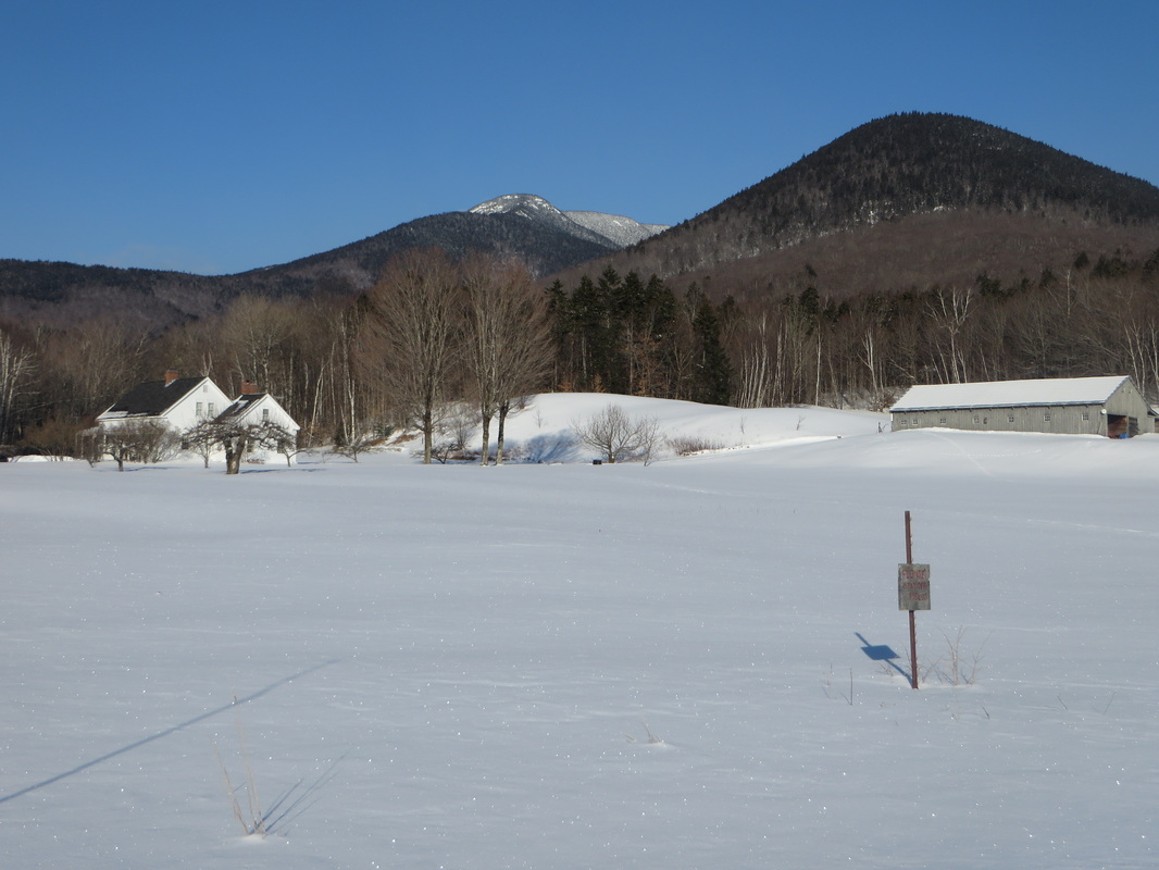
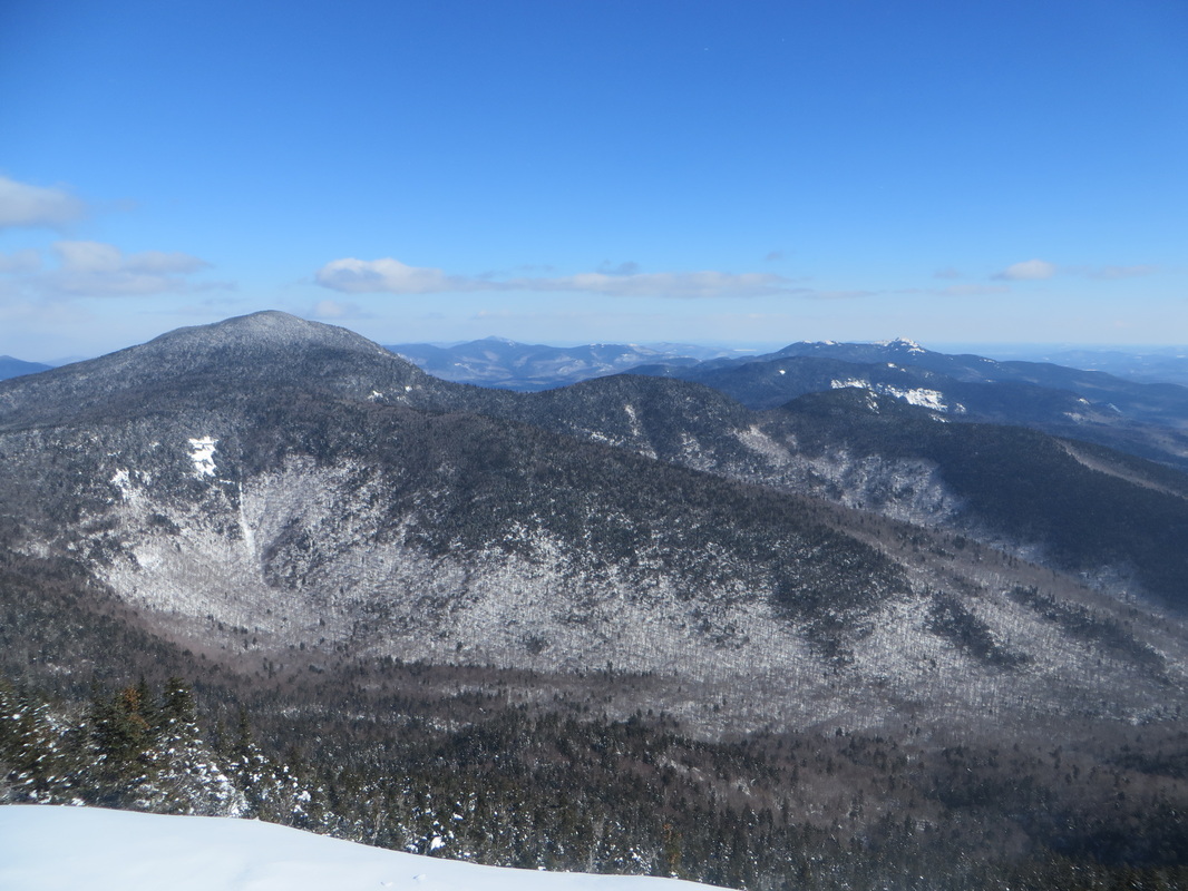
Mount Whiteface on the left, Mount Wonalancet on the right
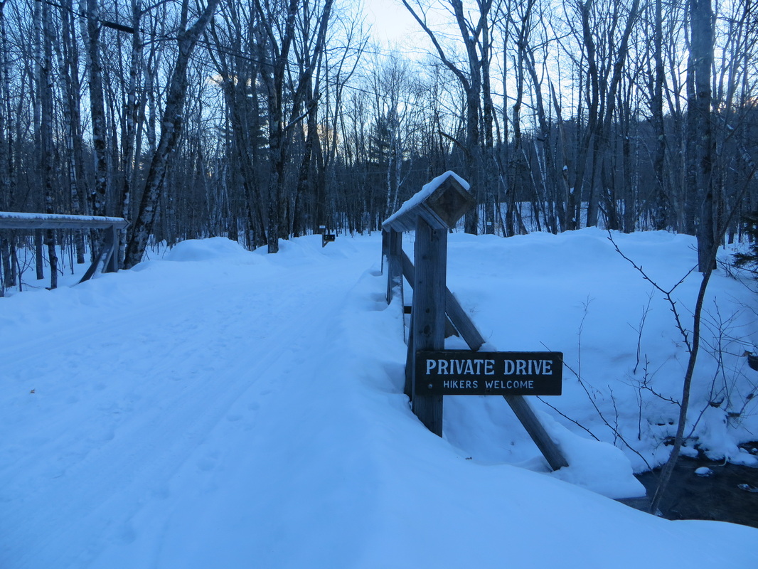
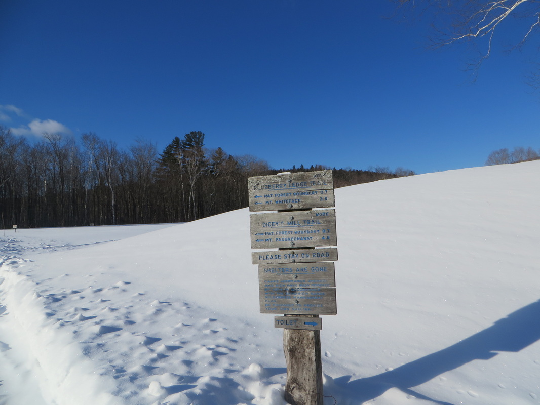
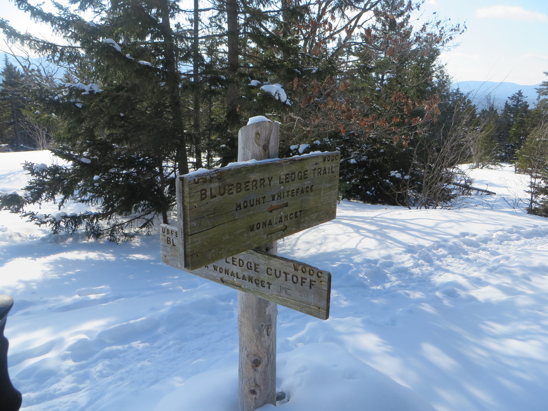
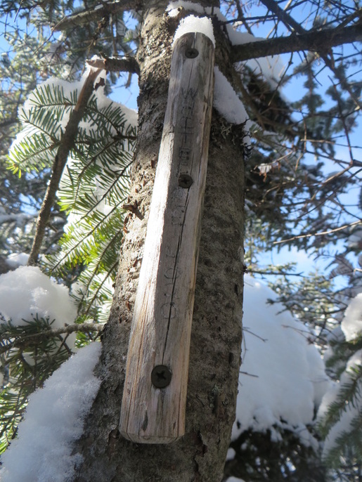
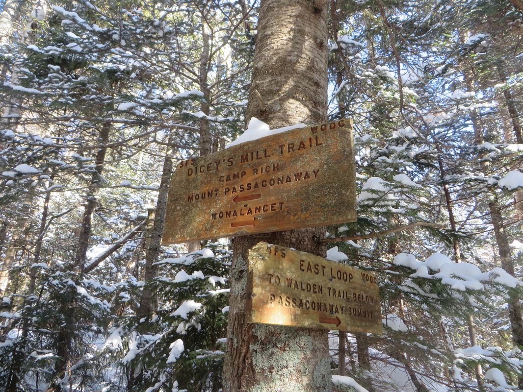
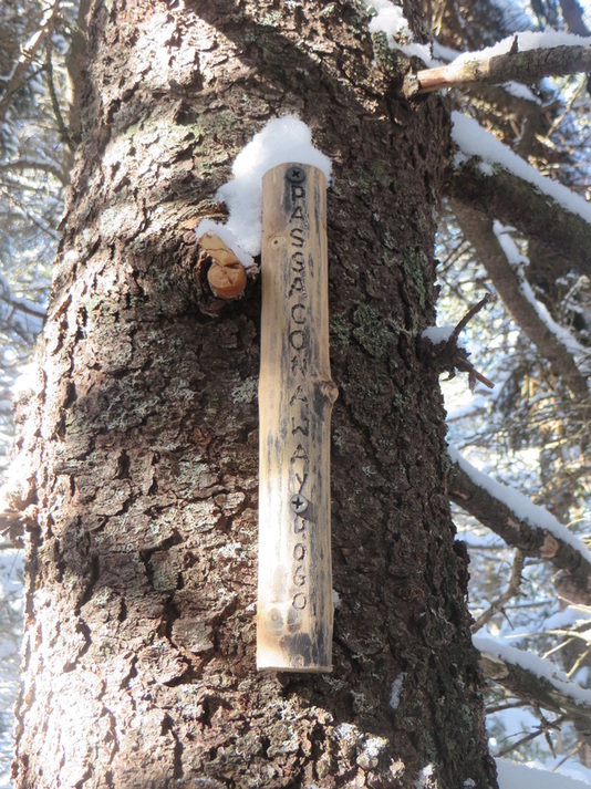
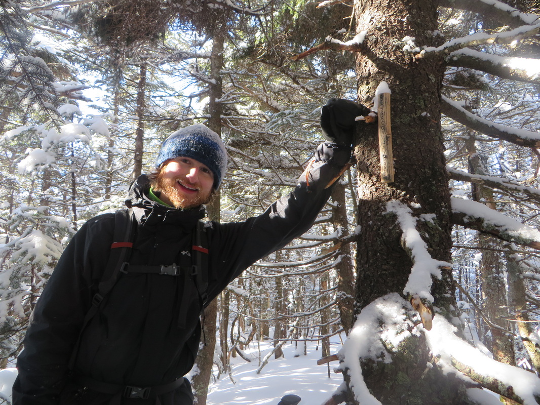
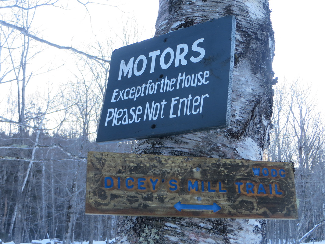
The trail heads for both Whiteface and Passaconaway are on private property but signs likes these let hikers know they are welcome to pass through
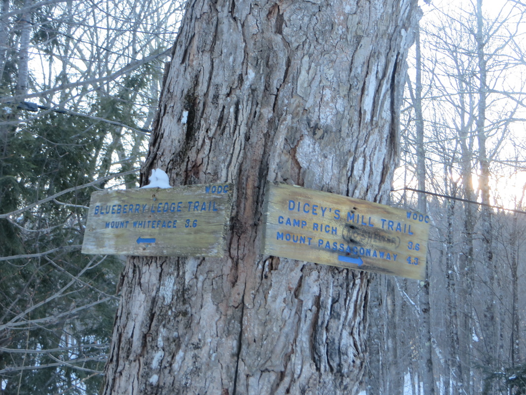
The WODC (Wonalancet Out Door Club) maintains the vast majority of trails in this section of the WMNF. They are an incredible group of people who take great pride in their trails. They are out year around making sure their trails are cleared of debris and blow downs and are always willing to stop what they are doing to chat. The trails maintained by the WODC are some of the best maintained trails in all the WMNF.
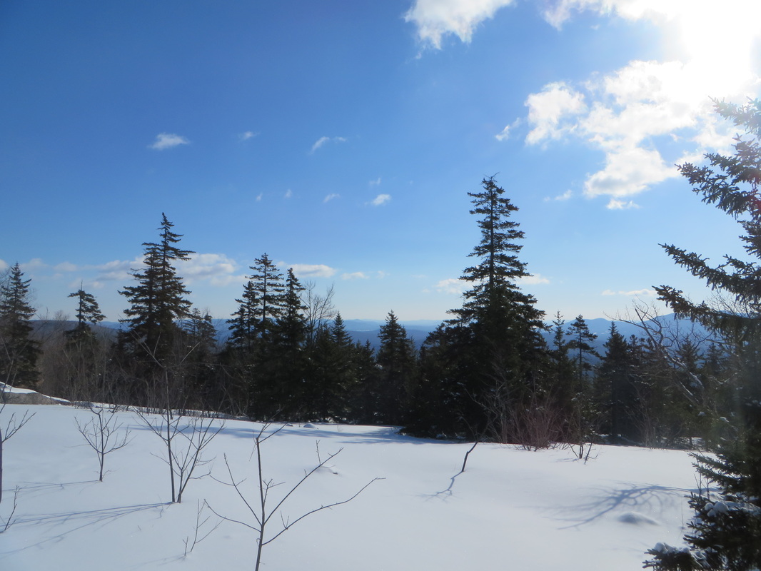
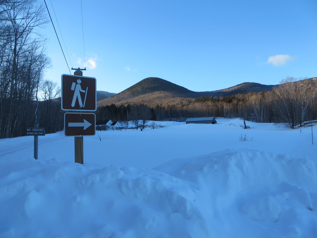
First junction and open area with some partial views
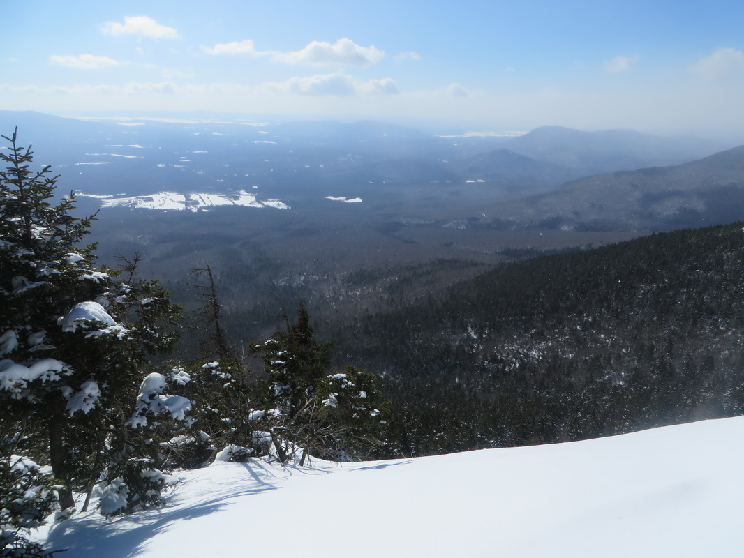
View of the lakes region from the first ledge. This is a downward sloping ledge so we kept our distance!
Another ledge, thankfully the part where I am standing isn't as steep of a pitch up!
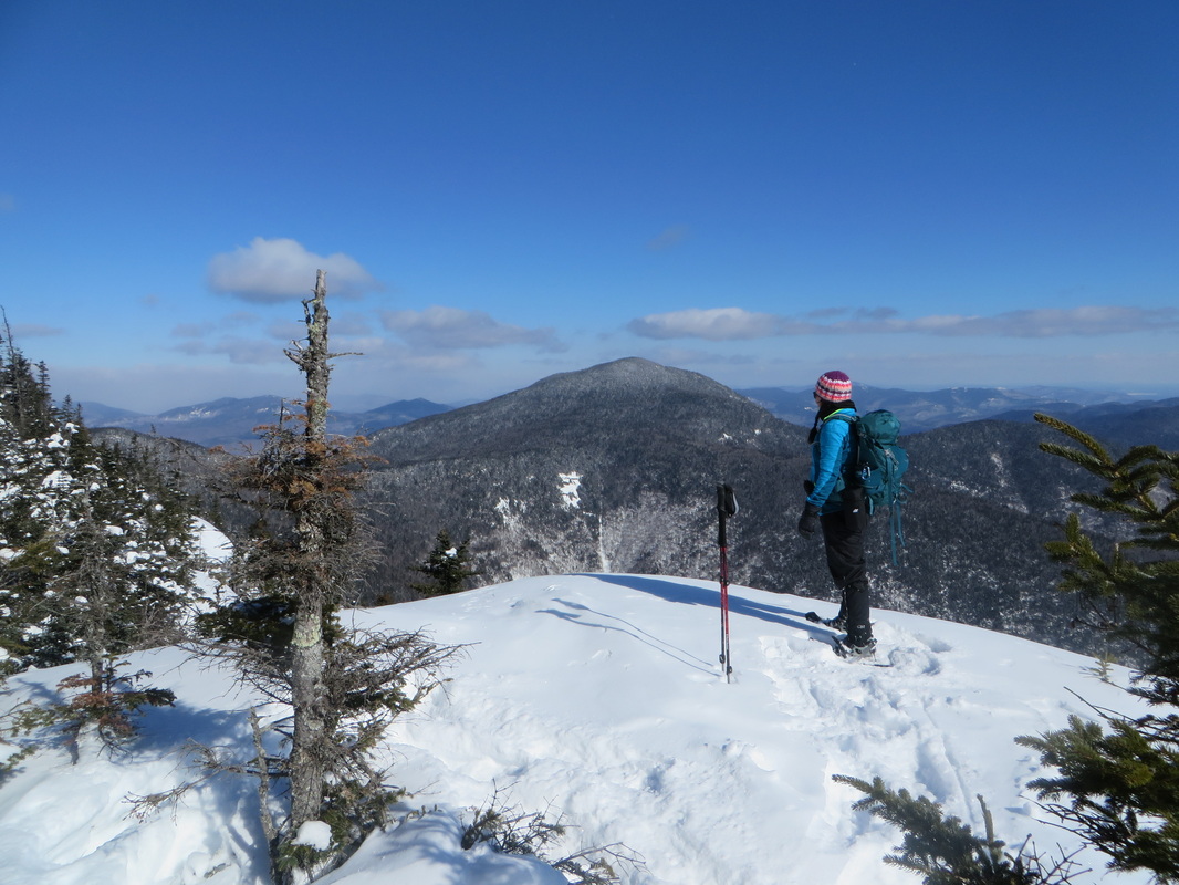
Passaconoway straight ahead.
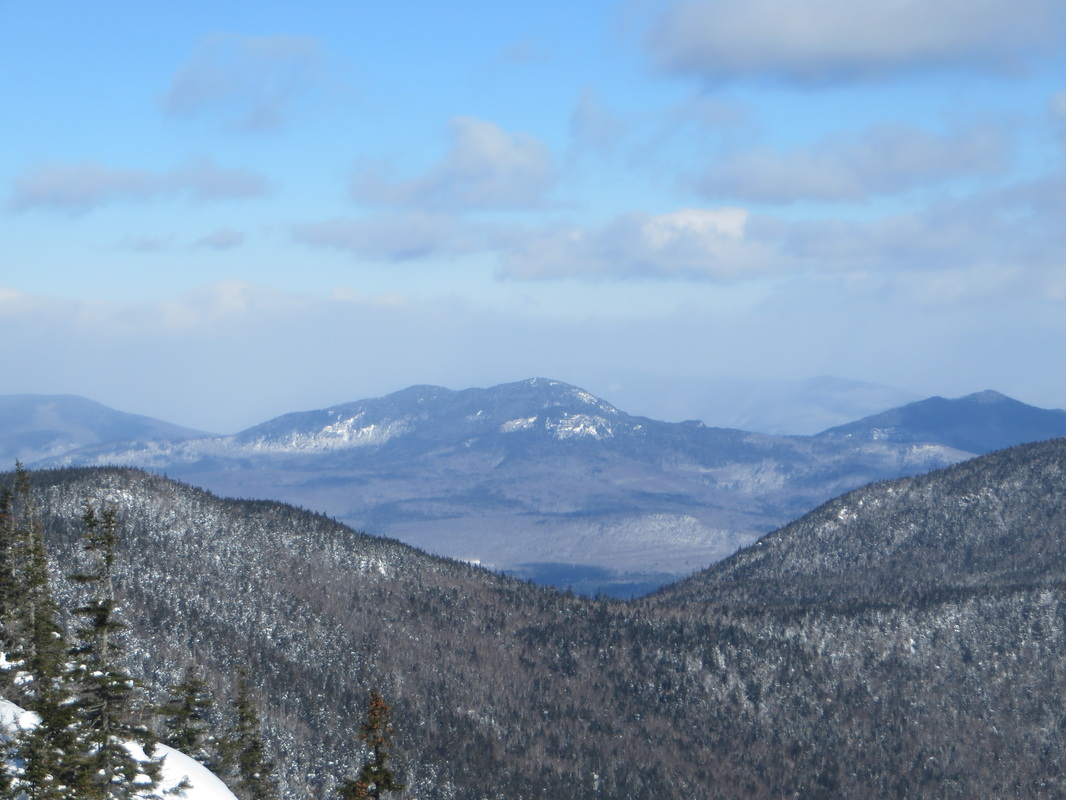
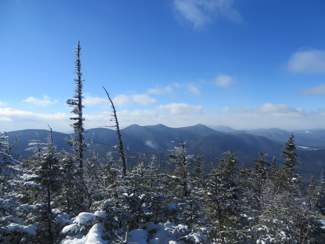
Mount Passaconaway and The Bowl below it. The Bowl is a glacial cirque that has never been logged which is a rarity in the WMNF. Some of the trees there are estimated to be 500 years old. It is used as a research area by UNH and Plymouth State College.
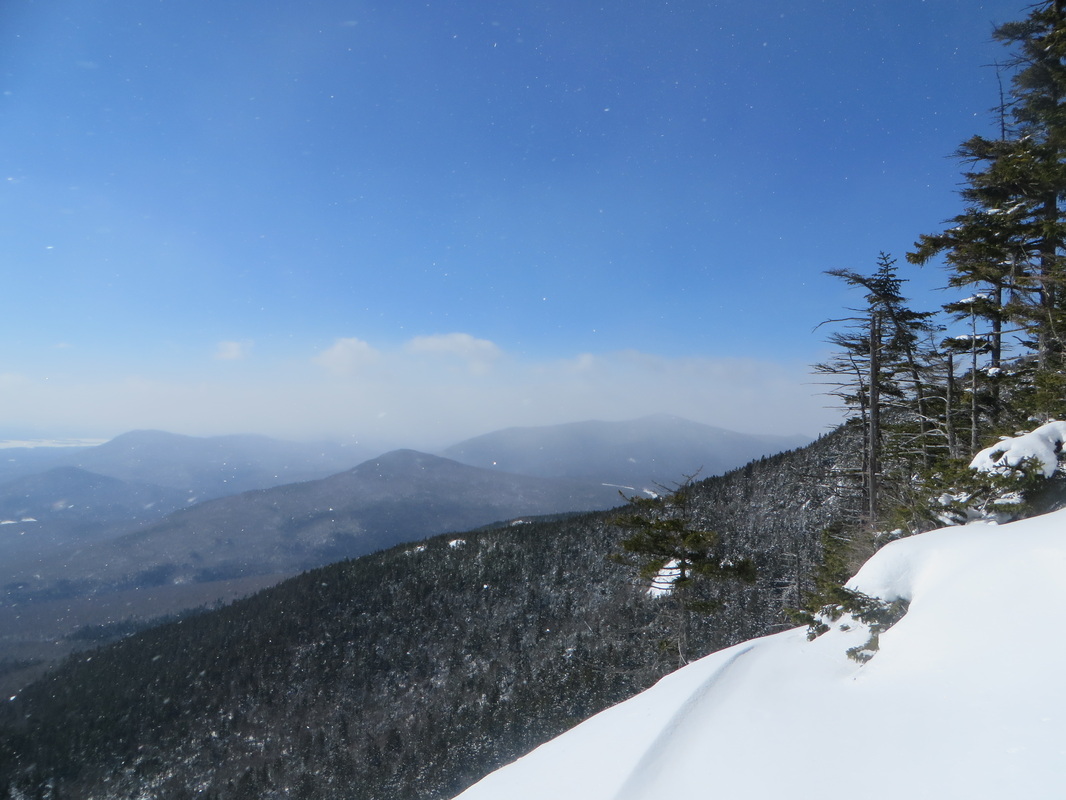
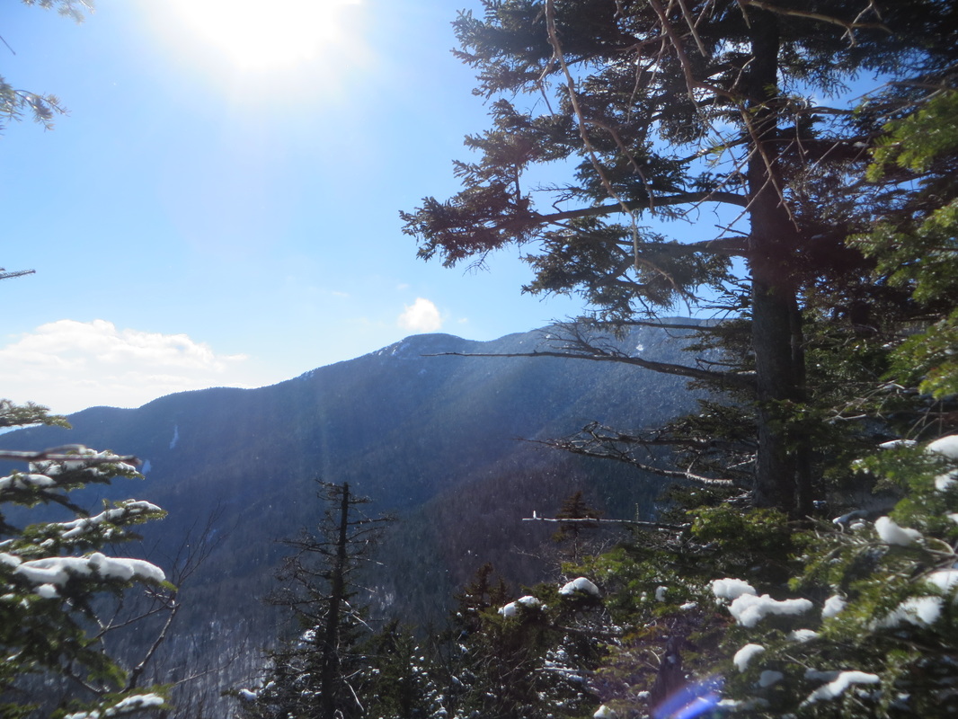
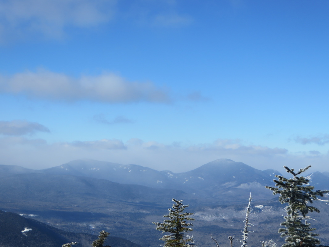
Normally one could see part of the Presidential Range from this ledge but today it is covered by a thick layer of gray clouds.
No Presidents today
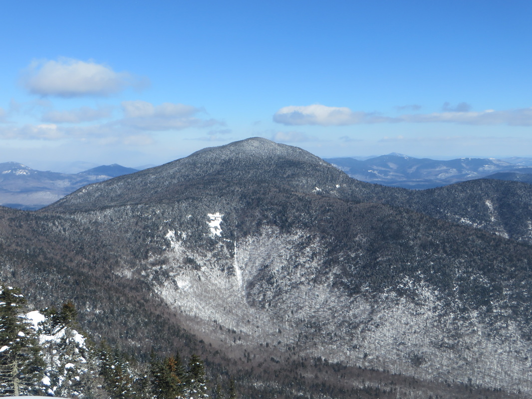
Passaconaway and The Bowl, Mount Wonalancet, The Sisters and Mount Chocorua in the back right.
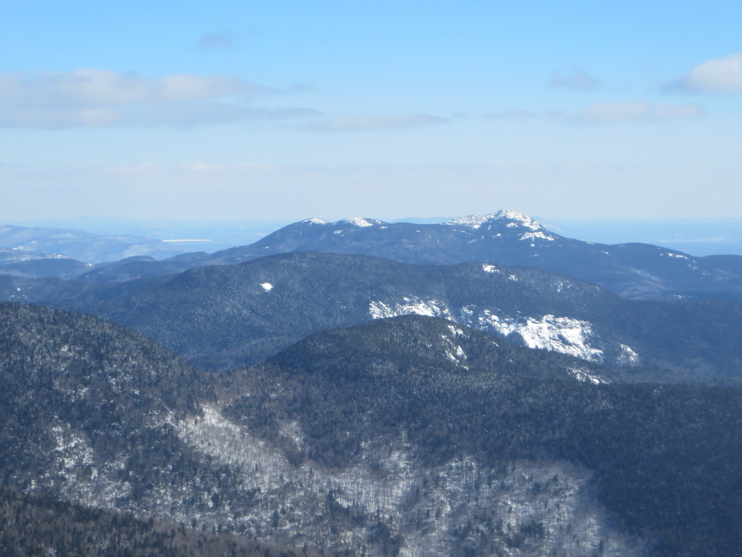
The Sisters and Chocorua
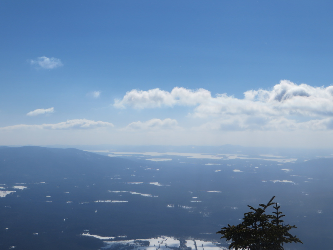
Lakes Region
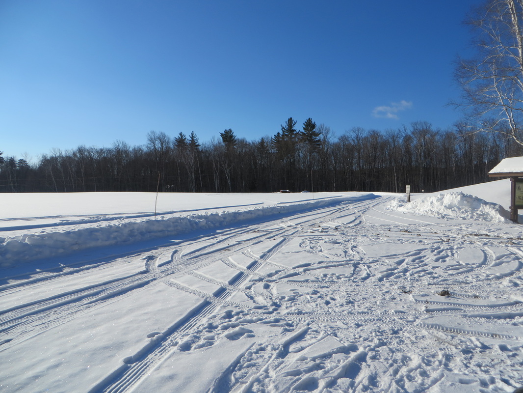
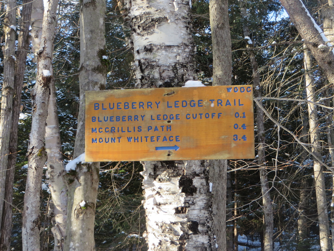
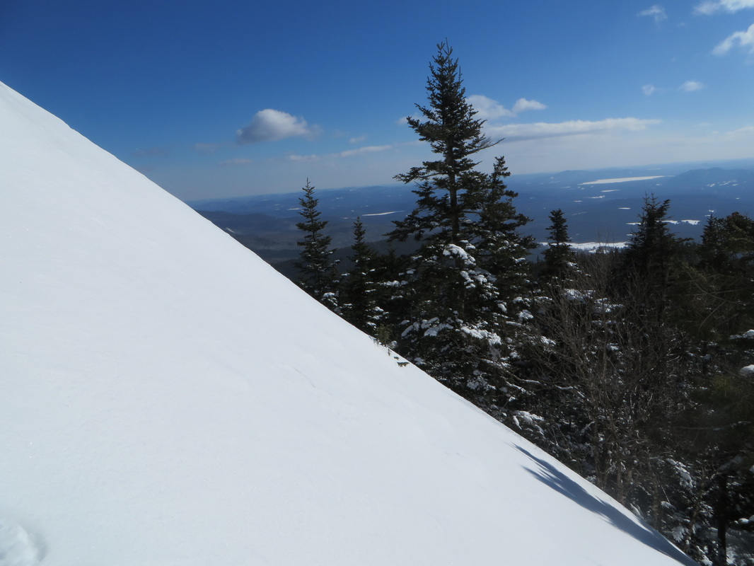
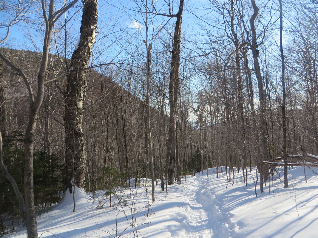
This was my first time taking the Blueberry Ledge Trail in its entirety from the base of the mountain to the summit. It is a gentle approach with moderate ups and down in the beginning. It steepens a bit before the junction with the Tom Wiggins Trail (the trail I took the last time I climbed Whiteface). I'm not sure why, but the 2.6 miles from the trail head to the junction with Tom Wiggins Trail felt like it was more like 5 miles. I guess my legs need longer to warm up some days. Shortly after the junction with Tom Wiggins, the ledge portion of the Blueberry Ledge Trail begins. These ledges can be very tricky if wet or icy but thankfully today they were covered with lots of snow making it fairly easy for us to kick and muscle our way up in our snowshoes. From the junction of Tom Wiggins to the actual summit of Whiteface is 0.7 of a mile, which went by quickly despite us stopping at the top of every ledge to take in the views.
Summit marker on Whiteface
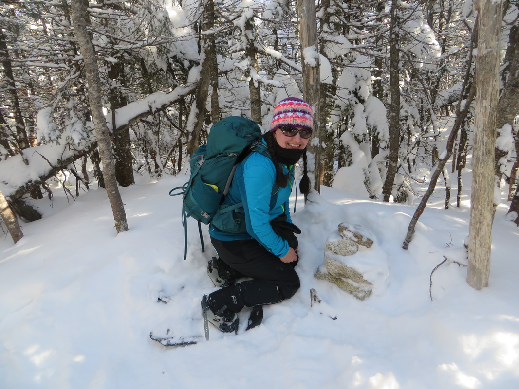
And the small summit cairn. Mount Whiteface: Winter 4K #31!
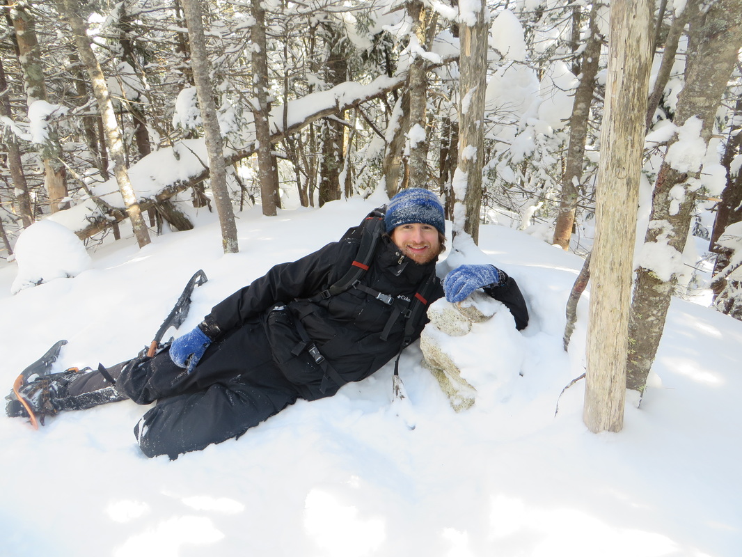
Kyle lounges with the cairn
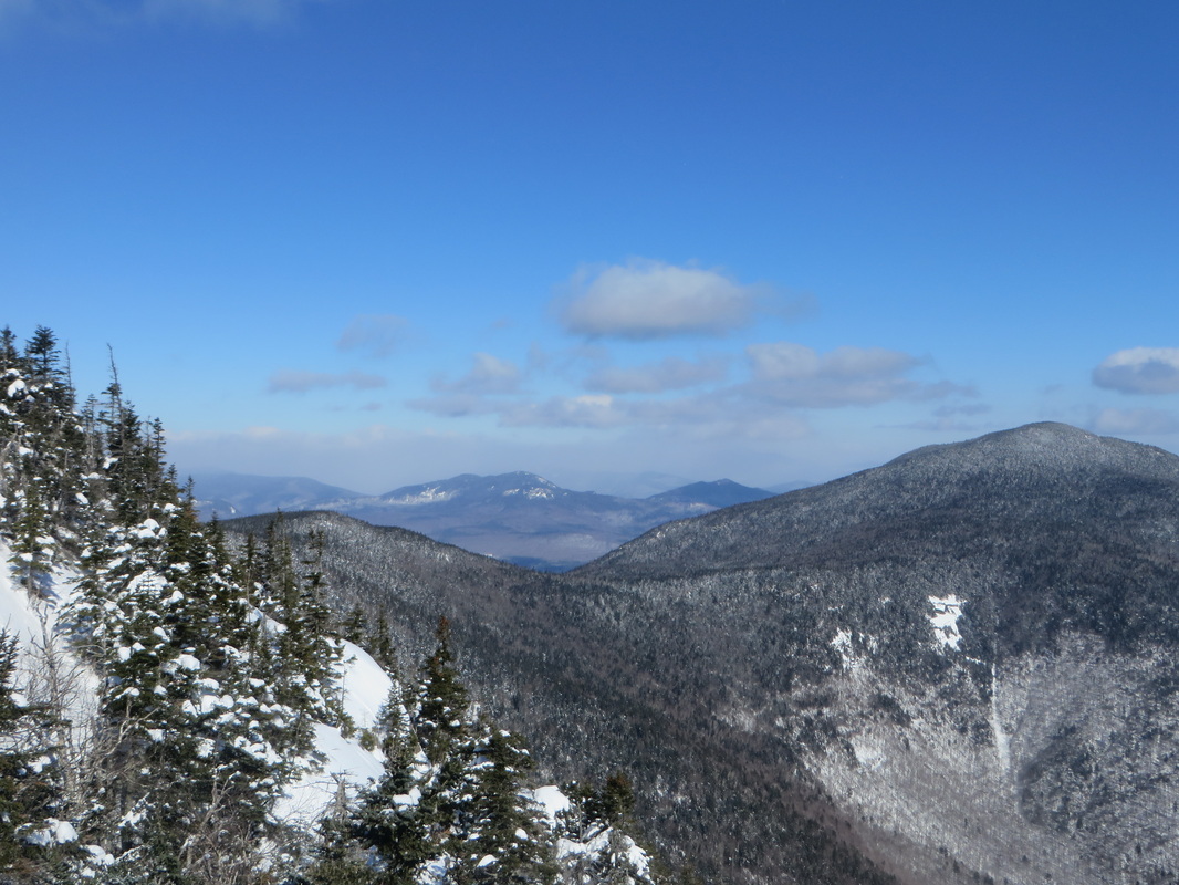
Making our way around The Bowl over to Passaconaway. This is the look back to Whiteface.
All day both Kyle and I had been dreading the 2.4 mile stretch on the Rollins Trail from the summit of Whiteface over to Passaconaway. We were also dreading the final 0.7 mile steepish slog up to the summit of Passaconaway. But for whatever reason, we motored through both stretches and make great time to the summit of Passaconaway. It was strange that it felt so much quicker than much of the morning climb up Whiteface.
View from the first outlook on Passaconaway
Many summits still in the clouds and getting snowed on to the north
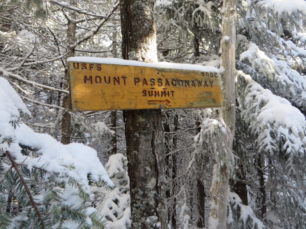
Passaconaway summit marker
Mount Passaconaway summit! Winter 4K #32! 16 left to go!
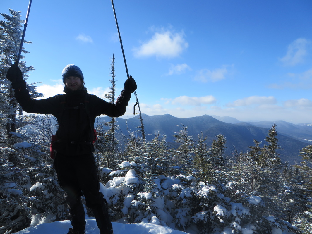
On our way back out, Kyle strikes a victory pose
We took Dicey's Mill Trail from the summit back down to the car. It is long and gradual but today it was quick thanks to perfectly packed out trails and no post-holes to pick around!
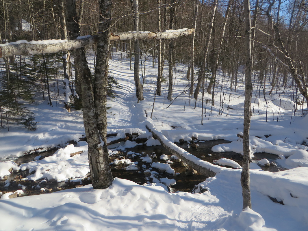
Just one open water crossing we had to contend with all day...
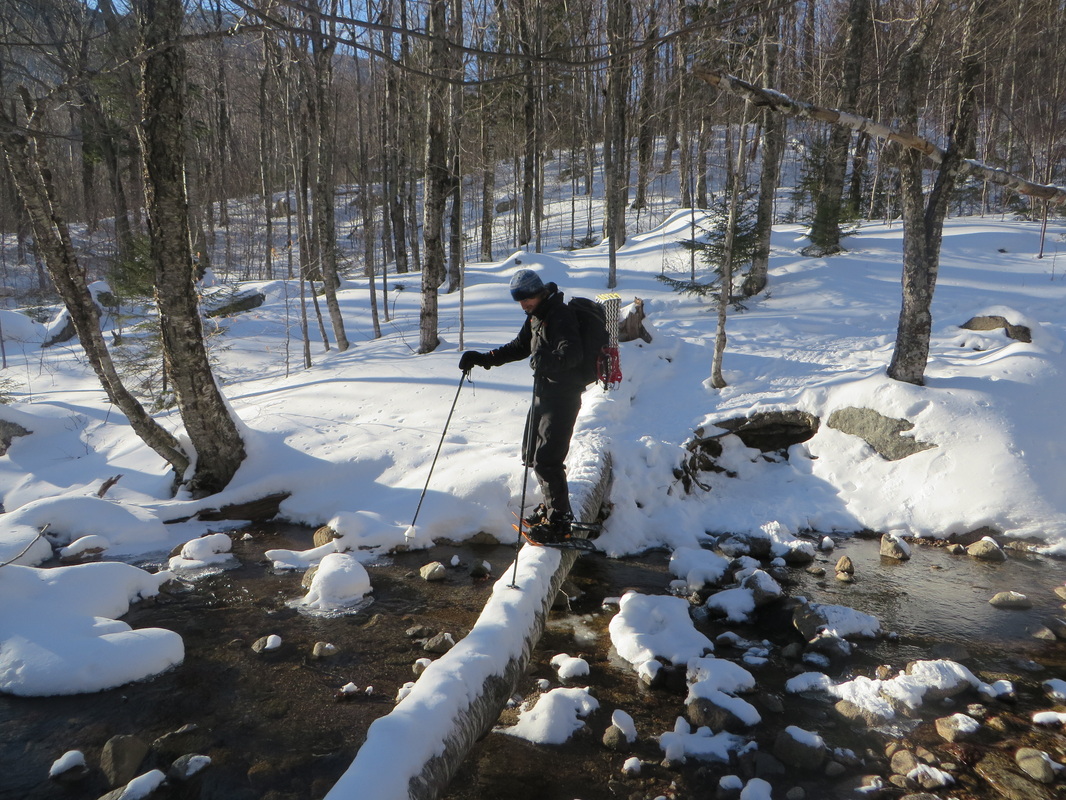
I rock hopped it but someone else had to be Mr. Daredevil and shuffle his way across the log!
Looking back as we make our way back to the cars
Another awesome day out in the woods!
 RSS Feed